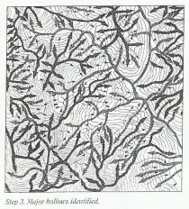
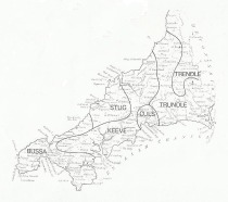
A new ongoing series, Land Diagrams, pairs writers from different disciplinary backgrounds, writing in response to the same image. To quote from an email:

Land Diagram 3
So far it includes published pieces by the geographers Martin Dodge, Mark Monmonier and Owain Jones, paired respectively with lexicographer Giles Goodland, experimental poet Mark Dickinson, and philosopher and essayist Peter Larkin. It aims to show how many people are involved in different ways with the codification of knowledge systems in the landscape – as well as offering new ways for topographical conversations in different disciplines to intersect through diagrammatic thought (or the literary tradition of ekphrasis).
From the website:
The reading of diagrams depends on different forms of tacit knowledge of practises, techniques and conventions of interpretation. But diagrams are also ‘machines of translation’ (Krämer, ‘Epistemology of the Line: Reflections on the Diagrammatical Mind’), offering ways of transmitting and prompting thought between disciplines.
In each of these Land Diagrams, a found image (chart, scheme, score, map) acts as a hinge between two pieces of writing, commissioned and published simultaneously. Each writer has been chosen for the value of their work and its involvement with the knowledge systems coded in landscape. Each pair of writers has been chosen for a perceived – often unexpected – rapport across disciplines.
The finished ‘twinned study’ offers two simultaneous gestures of thought in response to one geographical image. The responses are often experimental: no rules have been set beyond word count, and there is no consultation between the writers (a divergence of readings and resources is preferred to a collaborative middle-ground).
Land Diagram 1

